Featured Story
Live Bait Dentex Fishing: Precision Strategy, Key Conditions, and Data Sovereignty
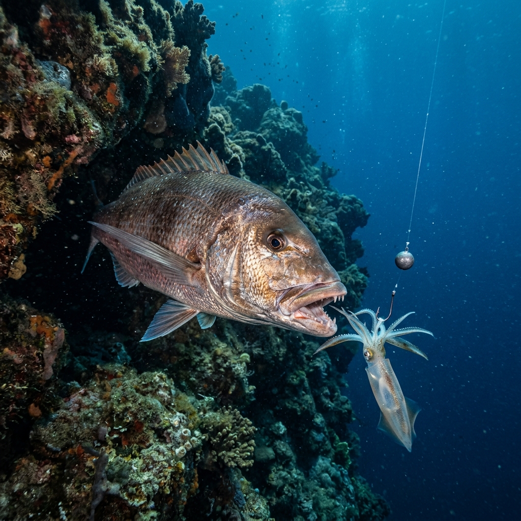
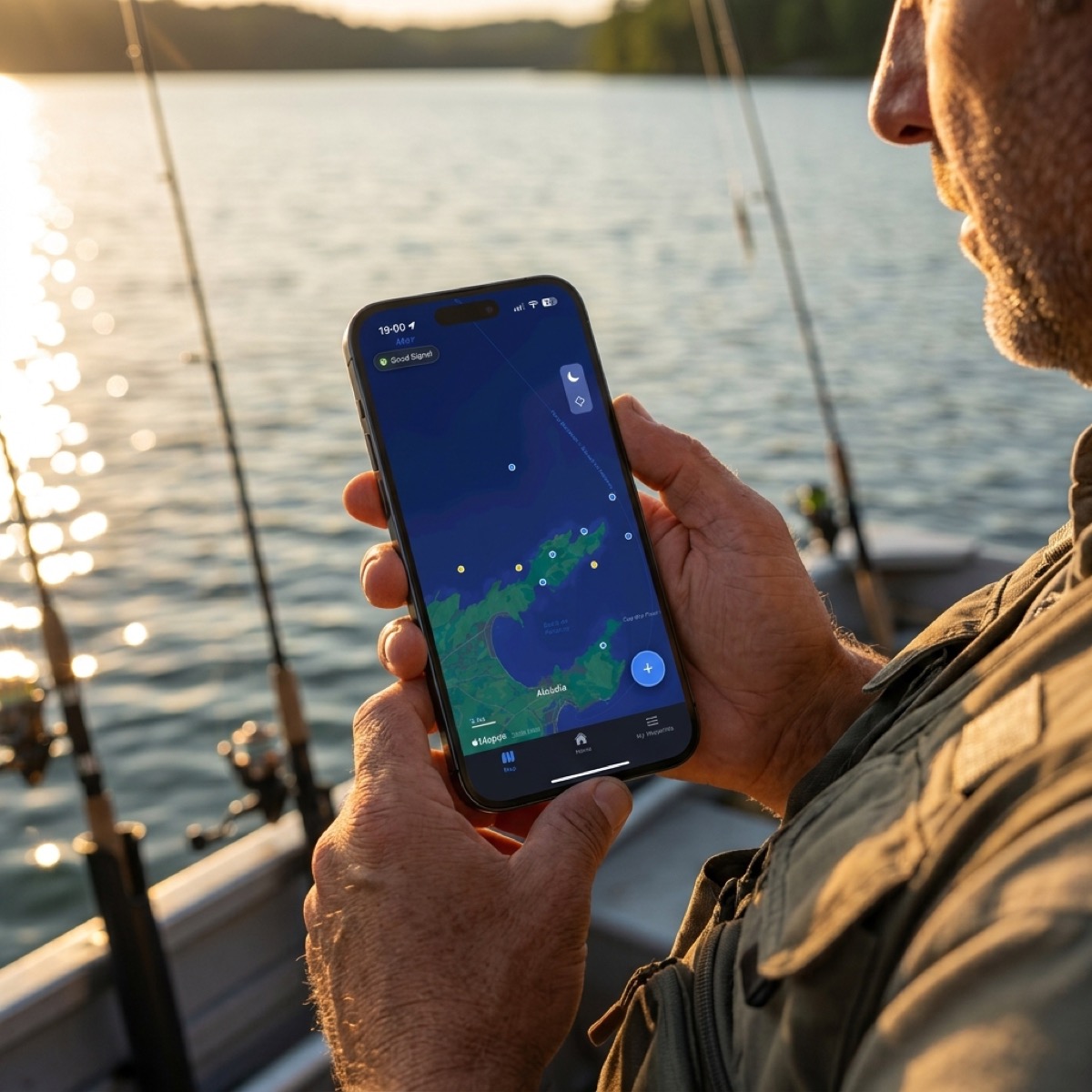
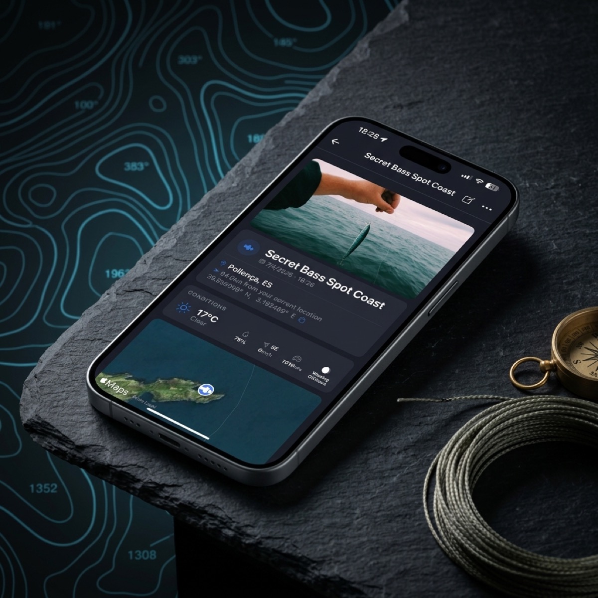
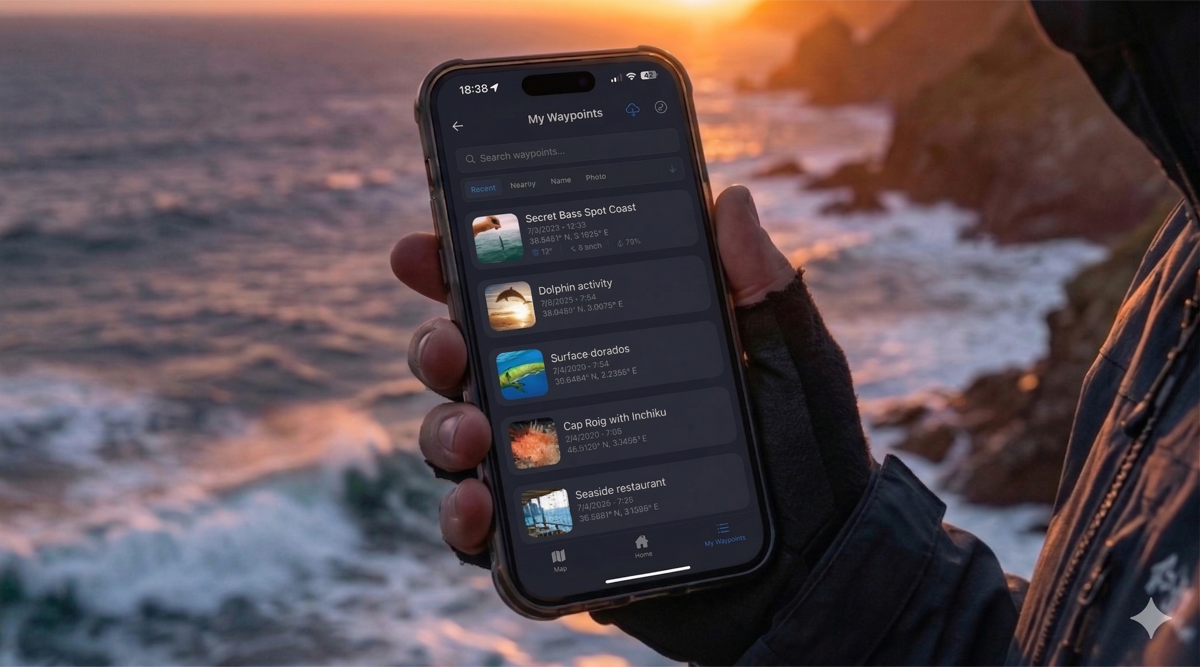
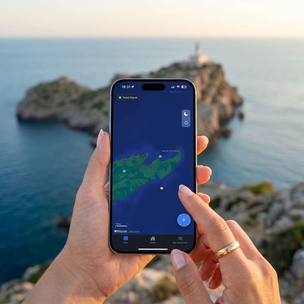
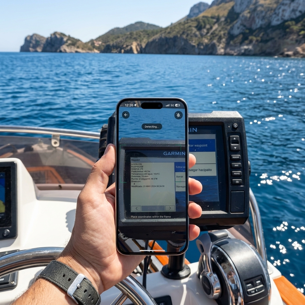
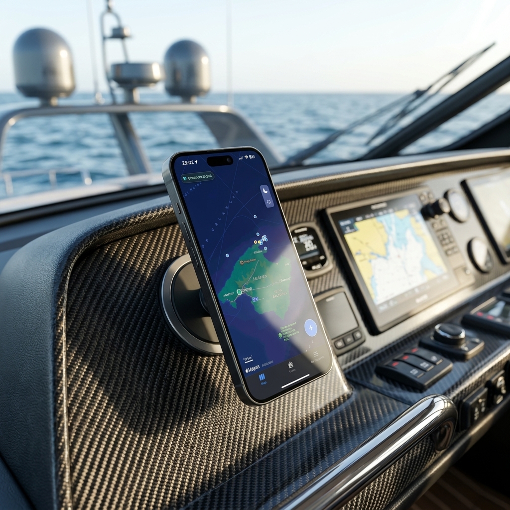
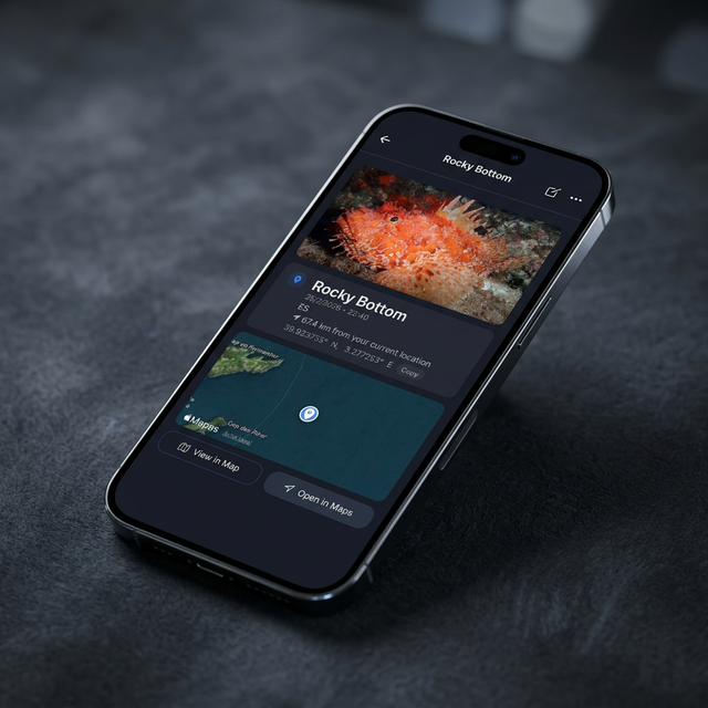
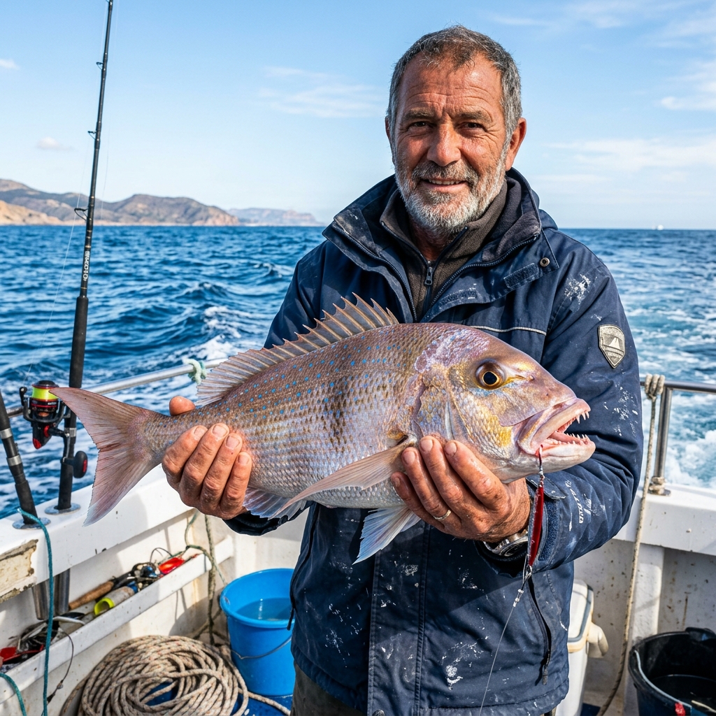
Learn how to fish for dentex with live bait using squid or cuttlefish. Discover how to register your spots in CAPTA and use weather data to fish the exact rocks.
Reading now