The Danger of Social Apps
How They Are Giving Away Your Fishing Spots
The Danger of Social Apps: How They Are Giving Away Your Fishing Spots
Introduction: The Hidden Cost of Free Tools
In recreational and professional fishing, information is not just power; it is the most expensive and difficult resource to obtain. Finding a top-tier fishing spot—an isolated rock 40 meters deep, a steep drop-off, or a sunken wreck holding bait—requires years of active exploration, hundreds of liters of fuel, and deep knowledge of currents, tides, and historical catches. This is why any angler's greatest treasure is their GPS logbook and waypoint history.
However, the digitization of marine navigation has brought a hidden trap. Under the promise of facilitating navigation, offering detailed weather forecasts, or connecting fishing communities to share experiences, dozens of mobile apps have flooded the market for free or at ridiculously low prices.
The question every serious angler should ask is: if developing and maintaining digital cartography infrastructure, global servers, and data processing costs millions of dollars a year, how can these apps be free or so cheap? The answer is simple and alarming: you are not the customer; your navigation database and fishing spots are the product.
1. The Crowdsourcing Business: Exploiting Your Data
The term "crowdsourcing" or community data collection sounds modern, democratic, and collaborative, but in sport fishing, it often translates into a silent expropriation of your scouting efforts. Mass-market navigation apps like Navionics (owned by Garmin) or fishing networks like Fishbrain base much of their commercial value on the data contributed, actively or passively, by their user base.
Even if you avoid making mistakes that reveal your fishing spots on social media and never post photos of your catches, simply navigating with these apps open on your smartphone or tablet compromises your marks. Here is how passive background harvesting works:
- Tracking Trajectories and Stops: Your mobile device's GPS does not just know where you are; it knows how fast you are moving. If your boat is cruising at 22 knots, stops dead over an exact coordinate for four hours, drifts slightly, and then resumes cruising speed, the app's algorithm does not need you to declare that you were fishing. It automatically deduces that you found an active spot.
- Sonar Data Aggregation (Community Bathymetry): Popular features encourage users to connect their fishfinders and plotters via Wi-Fi to their phones to record depth readings and generate more precise relief charts. What is presented as a service to the angler is actually a free army of surveyors. Your individual logs are uploaded to the cloud, processed, and added to the community map, which your competitors will see detailed on their screens the following weekend.
2. Terms of Service (TOS): What You Signed Without Reading
When you install any application on your smartphone, you are presented with a contract of terms of service of dozens of pages written in complex legal language. Virtually 99% of users click "Accept" without reading a single line. By doing so, in the vast majority of "social" or cloud-based apps, you are legally yielding the right to use the information you generate.
These contracts typically include clauses that allow the developer to:
- Collect and store your real-time location data indefinitely, even when the app is closed or running in the background, under the pretext of "improving positioning accuracy."
- Use your waypoints and navigation tracks in an "aggregated and anonymized" manner. The legal trick of "anonymization" allows them to argue that they are not sharing "your individual marks." However, the reality is that if 10 "anonymized" anglers stop at the exact same point, the system will generate a high-density public mark or update the bathymetry of that specific rock on the global chart.
- Sell or share this aggregated data with third parties, including commercial fleets, charter companies, and competing chart developers looking to expand their maps.
3. Background Telemetry: The Spy in Your Pocket
Telemetry is the automated transmission of usage data from the mobile app to the company's servers. In social fishing apps, this telemetry is constantly active while the app is open or running in the background to "improve the user experience."
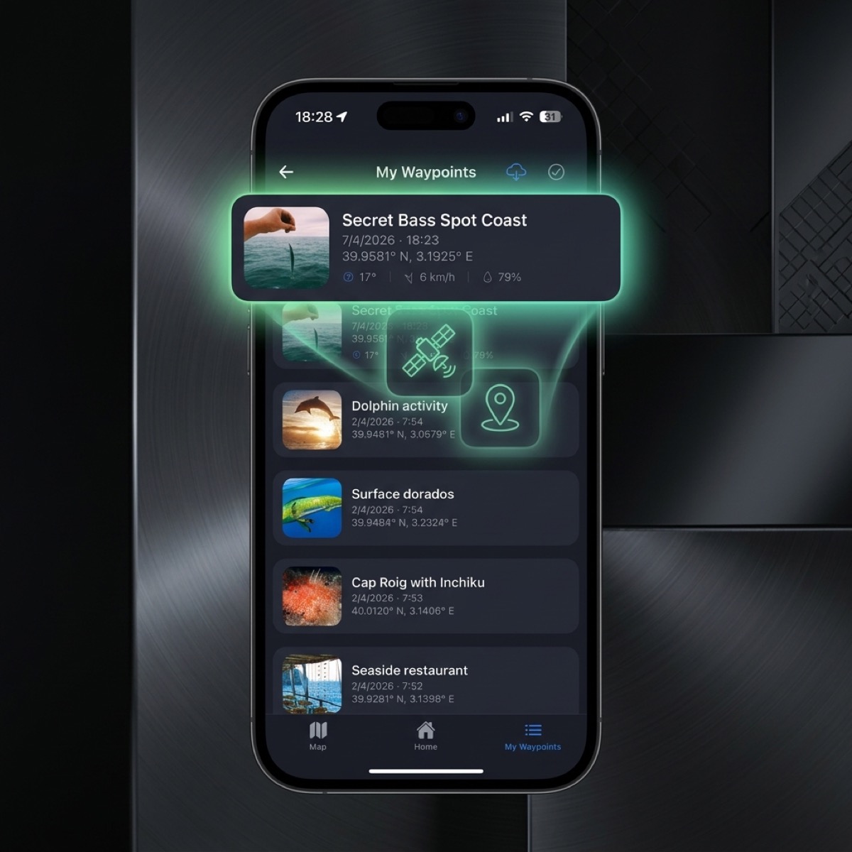
Every time you mark a waypoint to flag a spot where you just caught a snapper or grouper, that point is synced to the app's central server if your device has network coverage (or as soon as you get back to port). Once the coordinate leaves your phone and enters an external cloud database, you completely lose physical control over your information.
A data leak from a server hack, a change in the company's privacy policies, or internal employees with database admin privileges accessing the geographical data can result in your lifetime list of coordinates ending up in the hands of others.
4. Why Traditional Cloud Apps Are Incompatible with Elite Fishing
Cloud storage is convenient for syncing office notes or family photos, but in competitive or high-level recreational fishing, it is a critical vulnerability.
Apps that require a mandatory user account and store your waypoints on remote servers by default have three main issues:
- Connectivity Dependency: If the app constantly needs to validate your account against the server, a loss of coverage at sea or a server outage can leave you without access to your maps at the worst possible moment.
- Lack of Transparency: You will never know for sure how the database is used internally. Large marine electronics corporations regularly buy small fishing app startups specifically to acquire their geographic databases and improve their commercial charts.
- Lock-in Vulnerabilities: An app that is free today can decide tomorrow to lock your own waypoints behind a monthly subscription. With your marks held hostage in their cloud, you are forced to pay to avoid losing your history.
5. CAPTA: Designed for Anglers Who Guard Their Secrets
Faced with the extractive model of social apps and the vulnerability of the cloud, CAPTA was born. This app was designed from day one with a radically opposite philosophy: extreme privacy and absolute sovereignty over the angler's data.
CAPTA is not a social network, does not ask you to share your catches, and does not harvest your tracks to sell to third parties. Its sole purpose is to be the ultimate waypoint manager and tactical navigation brain for elite anglers.
By downloading and installing CAPTA on your mobile device, you gain key benefits that protect your secrets:
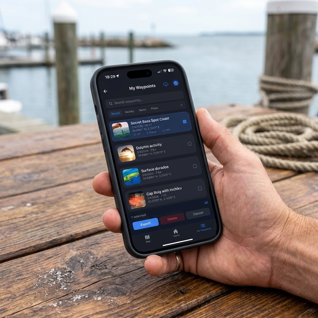
- 100% Local and Encrypted Storage: Your coordinates, spot photos, catches, and notes are saved exclusively inside your phone's physical storage. We do not have cloud storage servers or central databases where your waypoints are hosted. Unless you actively export your data, no one in the world (not even CAPTA's creators) can know where you fish.
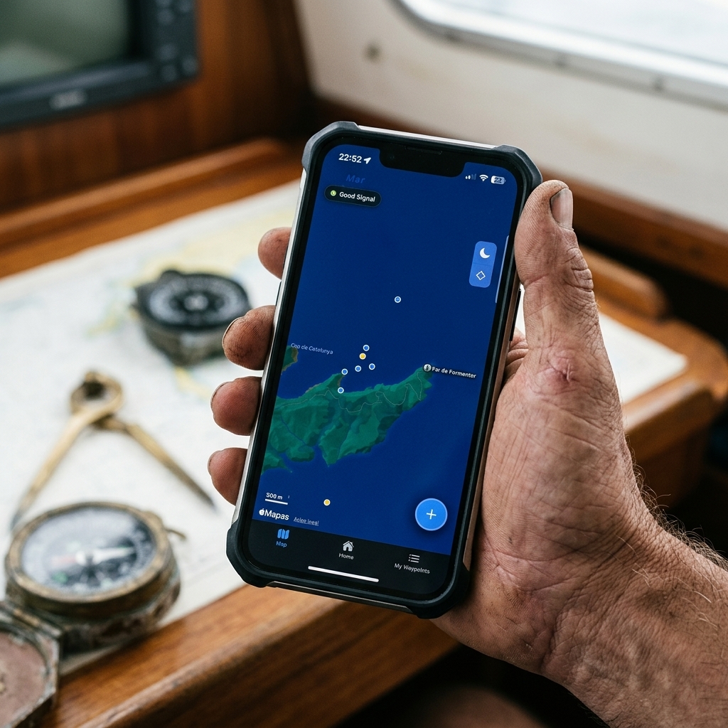
- Absolute Offline Operation: CAPTA runs completely offline without requiring an internet connection. Maps are downloaded to the device so you can navigate, mark spots, and check tide forecasts and lunar phases 100% locally in the middle of the ocean.
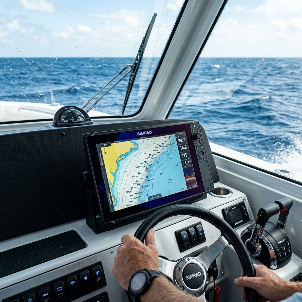
- Private GPX Import & Export: You are the absolute owner of your data. You can export your marks in standard GPX format to load them onto your boat's fishfinder (Garmin, Lowrance, Simrad, Furuno) or import files directly into CAPTA using SD cards or private file sharing. The entire process happens locally on your device.
- OCR Visual Coordinate Recognition: To avoid typing coordinates manually at the port—where anyone could watch your screen—or connecting your plotter to the internet, CAPTA features powerful OCR technology. Simply point your phone's camera at your fishfinder's screen, and the app reads, digitizes, and saves the exact coordinates instantly and privately.
Digital sovereignty is the only way to guarantee that today's hard-earned spots remain your secrets tomorrow. Protect your effort and keep control of your coordinates.
Download CAPTA now on iOS and Android and lock down your fishing spots forever
Frequently Asked Questions (FAQ) on Privacy and Fishing Apps
How do I know if my current navigation app shares my coordinates?
To check, review the app's privacy settings and look for clauses regarding "Community Bathymetry," "Share anonymous data," or "Social map contribution." In apps like Navionics, for example, the function to upload sonar logs (SonarLogs) is enabled by default in many menus. If using the app requires an internet connection or registering to a cloud account to view your own marks, assume your coordinates are regularly transmitted to external servers where you lose direct control.
What is the difference between community bathymetry and private mapping?
Community or social bathymetry (like SonarCharts) is built by aggregating depth tracks recorded and uploaded by thousands of users. While it provides detailed depth maps in heavily trafficked areas, it means the sea bottom you scouted with your own time and effort becomes public to all users of the chart. Private mapping, like what you manage in CAPTA, allows you to view high-quality base maps while keeping all your waypoint layers, depth notes, and spot photos completely isolated and hidden from the rest of the community.
If CAPTA doesn't have cloud servers, how do I back up my waypoints?
At CAPTA, we prioritize you having control over backing up your data rather than forcing you to trust a corporate cloud. You can easily and securely back up your entire database by exporting it to a standard GPX file with a single tap. You can then store this file privately on your personal computer, an external physical drive, or your own private cloud storage (like personal iCloud or Google Drive), ensuring that no one else can access or decrypt your waypoint logs.