Navionics vs. CAPTA
Why Elite Anglers are Abandoning Social Navigation Apps
Introduction: The End of the Era of Shared Maps
For the last decade, Navionics has been the undisputed king of nautical cartography. Its ability to digitize the seas and offer detailed charts in the palm of your hand revolutionized navigation. However, for the elite sport fisherman, a silent but devastating problem has emerged: the loss of ownership over information.
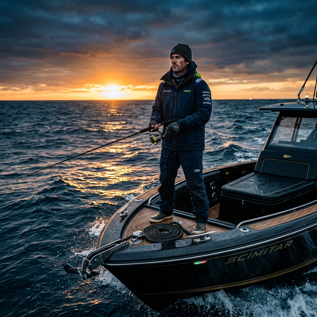
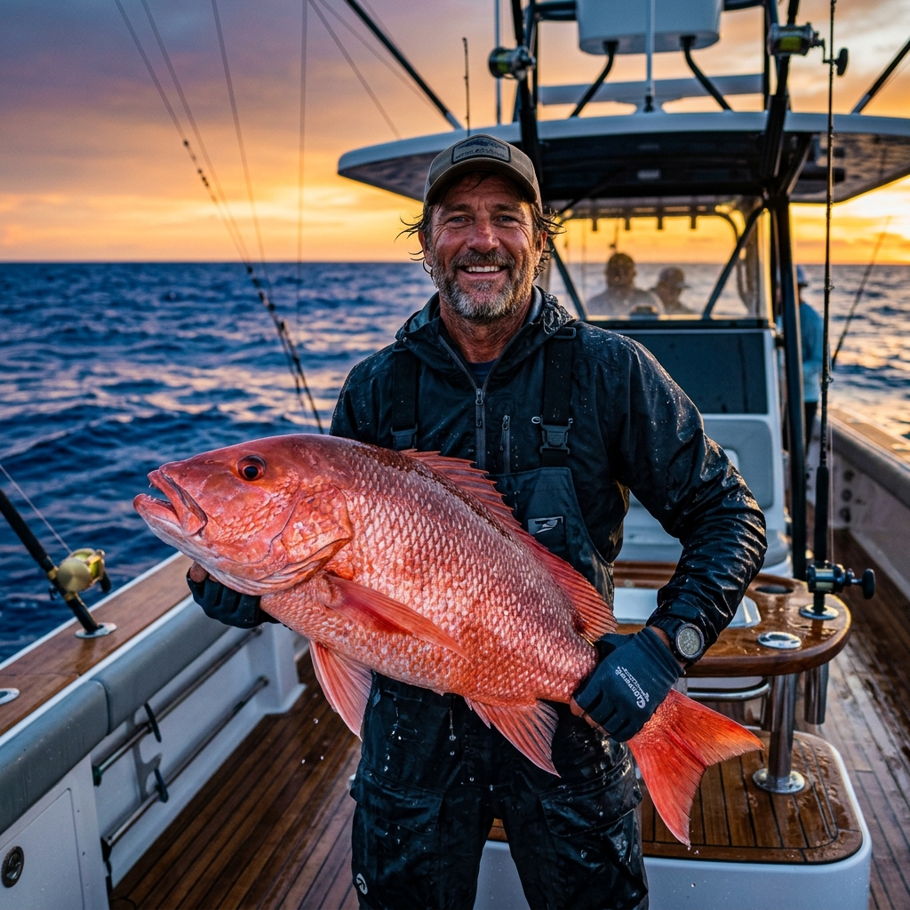
The serious angler isn't just looking to "get from A to B." They are looking to protect years of work: those rocks, wrecks, and spots that have cost hundreds of hours of fuel and patience to find. In this context, a new trend has been born that prioritizes data sovereignty over social connectivity.
In this comparison, we will analyze why CAPTA is not just an alternative to Navionics, but a total paradigm shift for those who understand that, in fishing, information is the most valuable asset that exists.
1. The "Community Layer" Trap: Your Secret is Now Everyone's
Navionics' greatest asset is its "Community Layer" and its "SonarCharts." At first glance, it seems like an incredible service: users share their sonar logs to improve bottom detail for everyone. But what is the real cost?
The Involuntary Heatmap
When you use social apps, your tracks, your stop times, and your waypoints feed algorithms. Even if you don't share your spot publicly with a name, the system knows where the boats stop. Navionics, owned by Garmin, uses this intelligence to refine its charts. The result is that your "secret rock" ends up appearing on a stranger's plotter as a relief anomaly that wasn't as clear before.
CAPTA's Anti-Social Philosophy
At CAPTA, we've taken the opposite path. We believe that community is fantastic for chatting at the port, but disastrous for managing fishing spots.
- Local-First Privacy: Your data is stored and encrypted on your phone. It doesn't go up to a public cloud to be analyzed by third-party algorithms.
- No Heatmaps: CAPTA doesn't track your routes to "improve maps." Your fishing strategy is your property and yours alone.
2. Flexibility and Barriers: The Free Version Problem
One of the biggest friction points for anglers is the business model. Navionics has evolved toward a regional annual subscription system that is, in many cases, an insurmountable "paywall."
Navionics: Systematic Blocking
If you stop paying for your Navionics subscription, you lose access to updated charts and many of the tactical functions you've been using. In its free version, the app is little more than a basic viewer that bombards you with prompts to pay. It's a relationship of dependency where you rent your own information.
CAPTA: Real Functionality from Day One
CAPTA has been designed to be flexible and useful even in its free version. We understand that an angler needs to test the power of the tool before committing.
- No Aggressive Paywalls: You can save your spots, use OCR, and manage your database professionally without the app stopping work after two days.
- Everyday Tools: We believe trust is earned by offering real value, not by blocking basic functions.
3. Capture Technology: OCR vs. Manual Typing
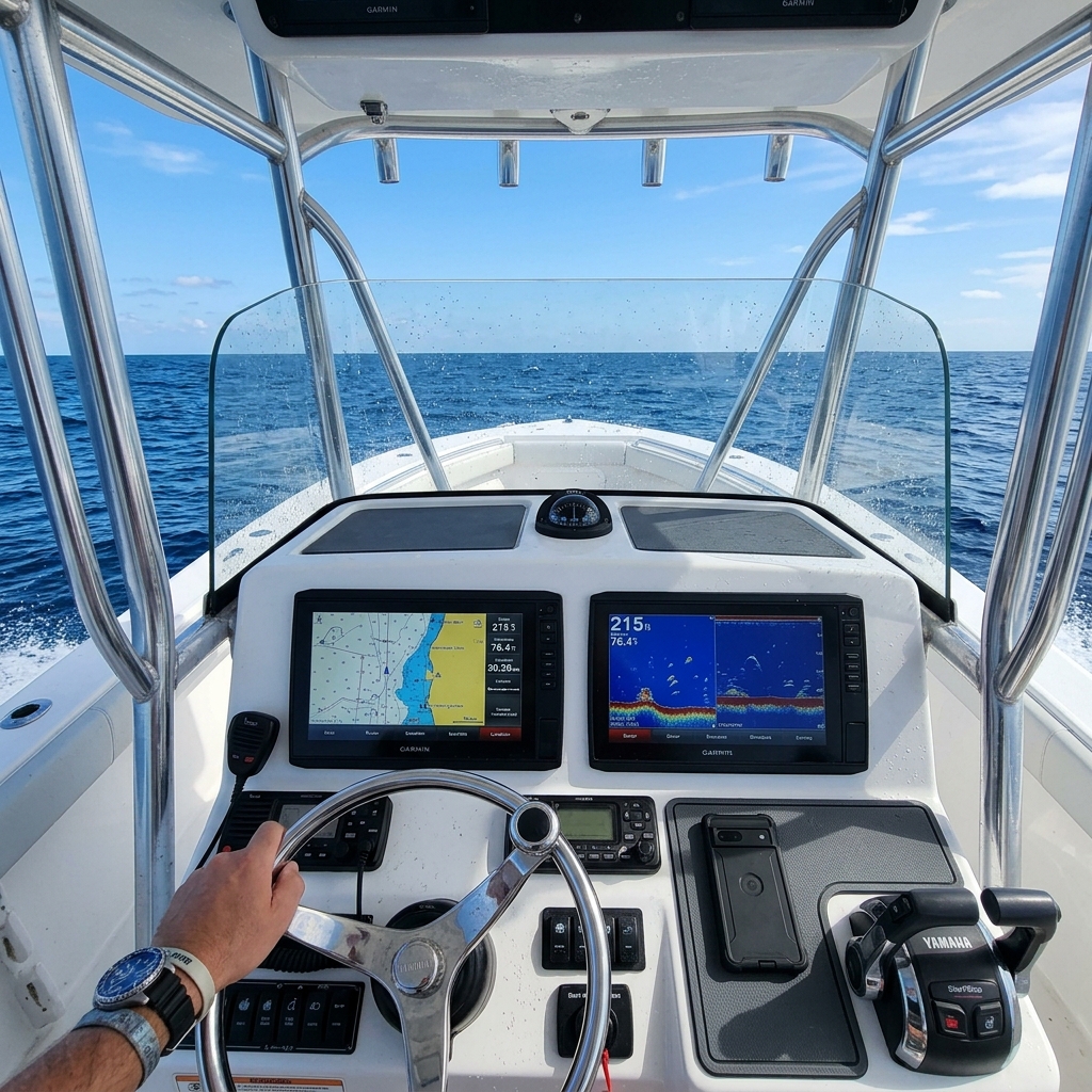
Imagine you're in the middle of the action. The sea is rough, the fish are active, and a spot appears on your Garmin plotter that you MUST save.
The Coordinate Drama in Navionics
In Navionics, if you want to transfer a point from the plotter to the app, you have to manually type in latitude and longitude. Trying to type 14 digits on a wet touchscreen while the boat is jumping is the perfect recipe for error. One wrong number and your spot is 200 yards away from reality.
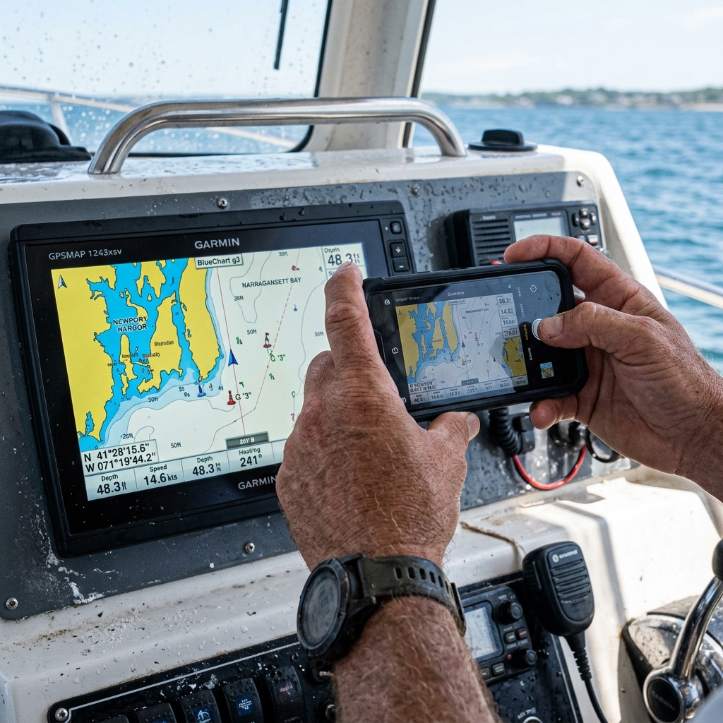
The Magic of CAPTA's OCR
CAPTA introduces Visual Coordinate Scanning (OCR). You simply point your phone's camera at the plotter screen or your notebook, and the app instantly recognizes the coordinates. If you need to convert those data points to other formats, you can use our free GPS coordinate converter tool.
- Zero Errors: No more dancing numbers.
- Speed: Save the point in less than 2 seconds. You can learn more about this technology in our article on how to scan coordinates from a photo.
- Multi-format: It reads Degrees/Minutes/Seconds or Decimal Degrees without you having to configure anything.
4. The Missing Link: Automatic Metadata
Saving a fishing spot without environmental context is saving only half the story. Navionics focuses on the "where," but ignores the "when" and "why."
Forgetting Environmental Data
In Navionics, if you want to remember that there was a pressure of 1015 hPa and a full moon that day, you have to manually write it in the notes (if you even remember). Most anglers don't do it because they lack the time.
The Brain of CAPTA
Every time you save a waypoint in CAPTA, the application connects to weather stations and astronomical services to record:
- Barometric Pressure: Critical for understanding predator activity.
- Moon Phase and Illumination: To predict current strength.
- Wind and Temperature: To understand why the boat was drifting in that specific way. All this happens automatically. In two years, you'll have a database that tells you exactly under what conditions the best strikes occur at each spot.
5. Direct Technical Comparison
| Feature | Navionics | CAPTA |
|---|---|---|
| Privacy | Social (Public) | Anti-Social (Private) |
| OCR Coordinates | No | Yes (Instant) |
| Auto Metadata | Manual / No | Yes (Moon/Pressure) |
| Free Flexibility | Low (Blocked) | High (Functional) |
| Philosophy | Big Brother | Data Sovereignty |
6. Why Switch Now?
Navionics will remain an excellent tool for pure navigation and for those who don't mind their data being part of a shared critical mass. But if you are an angler who:
- Has invested years in finding their rocks.
- Values speed of use with OCR.
- Wants to understand the weather patterns of their catches.
- Is looking for an app that doesn't penalize them for not paying an expensive regional subscription.
Then, switching to CAPTA is not just an option; it's a strategic necessity.
Conclusion: Your Boat, Your Rules
Technology should be at the service of the fisherman, not the other way around. Navionics is a closed ecosystem that benefits from your information. CAPTA is a sovereignty tool that gives you absolute control over your fishing secrets.
In an increasingly pressured sea, the difference between success and failure is the quality and privacy of your information. Don't let your secret spots feed your competition's plotter.
Are you ready to make the jump to professional and private fishing? Download CAPTA today and start managing your spots like a true pro.
Frequently Asked Questions (FAQ)
Can I transfer my points from Navionics to CAPTA?
Yes, it's extremely simple. You can export your GPX files from the Navionics website or from your plotter and import them directly into CAPTA. All your years of work will remain intact and will now be protected by our Anti-Social Philosophy.
Does CAPTA work without coverage on the high seas?
Absolutely. CAPTA has been designed with an Offline-First approach. All spot management, OCR, and data query functions work without an internet connection. Weather metadata synchronizes as soon as you regain coverage, without you losing anything.
Does Navionics really know where I fish if I don't share my spots?
Navionics records your navigation "tracks" (trajectories). If the system detects that a boat repeatedly stops at a specific point at a drift speed, the algorithm identifies that place as a zone of interest. This information is used to improve bathymetric cartography and points of interest that are then sold to other users.
Is it difficult to use OCR with the boat in motion?
On the contrary, CAPTA's system has visual stabilization. It's much easier and safer to point with the camera for a second than to try to type numbers while the boat is moving. It's one of our professional users' favorite features.
What do I gain with the Pro version of CAPTA if the Free one is already good?
The Pro version unlocks advanced mass export capabilities, unlimited folder management, and multi-device synchronization under military-grade encryption. It's the definitive step for the angler who manages hundreds or thousands of tactical spots.
Related Articles (You might be interested)
If you want to take your fishing database to the next level, don't miss these technical guides: