How to fish for grouper
technique, baits, and fishing spots
The grouper is one of those fish that turns any spot on the map into a place you want to keep for years.
You can travel kilometers of coastline, test dozens of bottoms, and spend hours looking at the sonar until you find an area where everything fits: rock, depth, small drop-offs, food, and shelters.
When a good grouper finally appears, the true value is not only in the catch. It is also in having found that place.
And that is where one of the big differences between fishing randomly and gradually building your own fishing map appears: saving each productive spot correctly and learning what conditions were present when it worked.
In this guide, we will see how to look for grouper areas, how to fish them, what equipment to use, and above all, how to turn each catch into useful information for future trips using CAPTA.
1. Where to look for grouper: find its home first
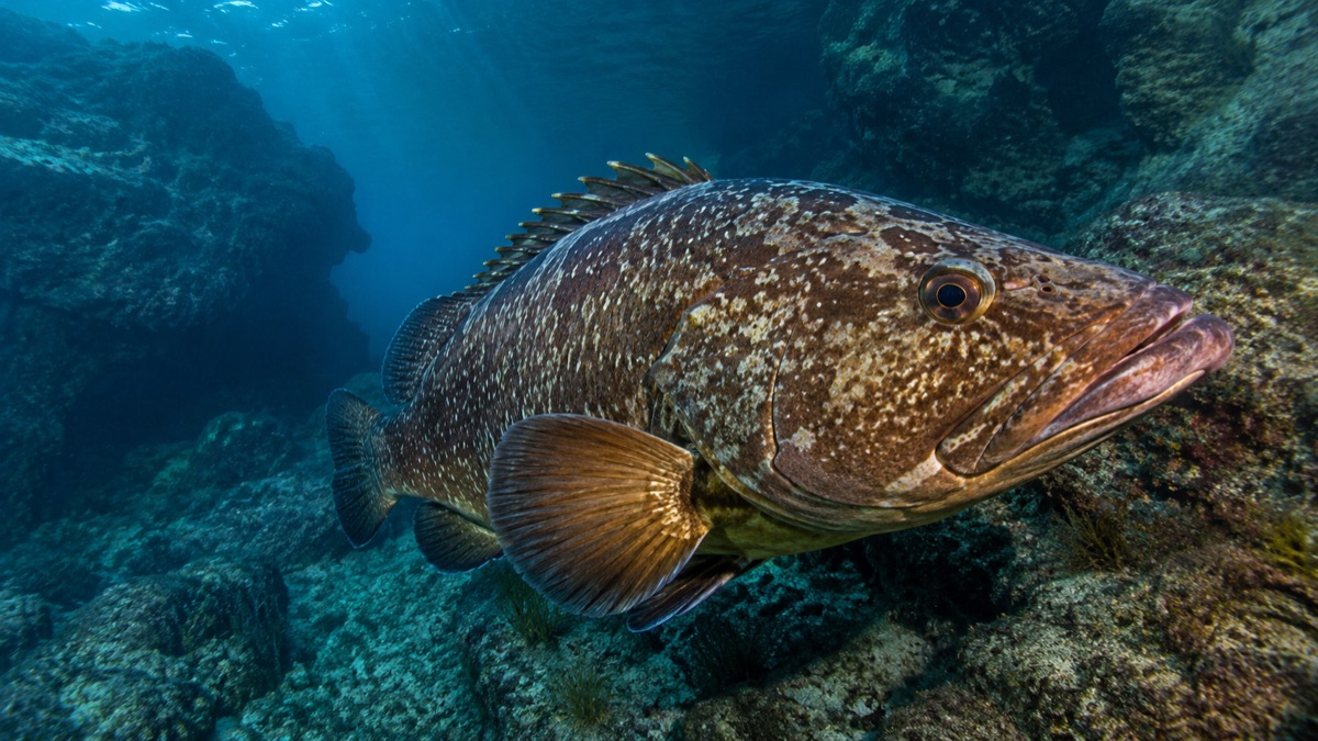
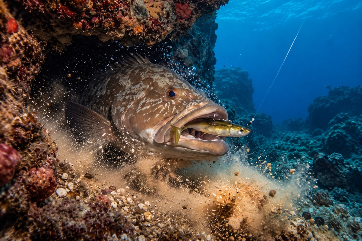
The grouper (Epinephelus marginatus) is closely linked to rocky bottoms. We should not imagine it constantly roaming large expanses of open sea.
Its terrain is structure.
Large blocks of stone, walls, crevices, caves, steps, and areas where a rock formation breaks the monotony of the bottom can provide shelter and food. Therefore, when looking for grouper from a boat or kayak, we are not just interested in finding “rock”.
We are especially interested in the irregularities within that rock:
- A sudden drop-off.
- A small elevation.
- A transition between different types of bottom.
- A set of loose blocks.
Here the sonar becomes a fundamental tool. It's not necessarily about seeing a perfectly drawn grouper on the screen, but about interpreting the terrain.
When we find one of those structures, we should do something immediately: save its position. Because locating it once can cost us half a day. Returning exactly to it shouldn't cost us another.
2. Fishing for grouper doesn't mean just dropping nearby
Imagine you have located a small rock formation at quite a depth. You pass over it, detect an interesting structure, and start fishing. There is activity. You mentally save the area and weeks later you return: "It was more or less here".
In certain fishing styles, that might be enough. With grouper, it often isn't.
A relatively small difference can mean your bait works over sand instead of next to the rock, or that it passes on the wrong side of a structure. That's why it is vital to save an exact GPS waypoint.
With CAPTA you can save the spot from your mobile and later use the app's navigation to return to it. This is useful even if you already have a GPS plotter on the boat. CAPTA is not intended to replace it; the idea is to have your spots organized in an independent backup.
If you change boats, you can import and export your coordinates using GPX and keep your fishing library intact.
3. Bait and presentation: put the food where the fish is
The grouper is an opportunistic predator capable of feeding on fish, cephalopods, and different bottom organisms. But there is a golden rule:
You have to present it where it is hunting.
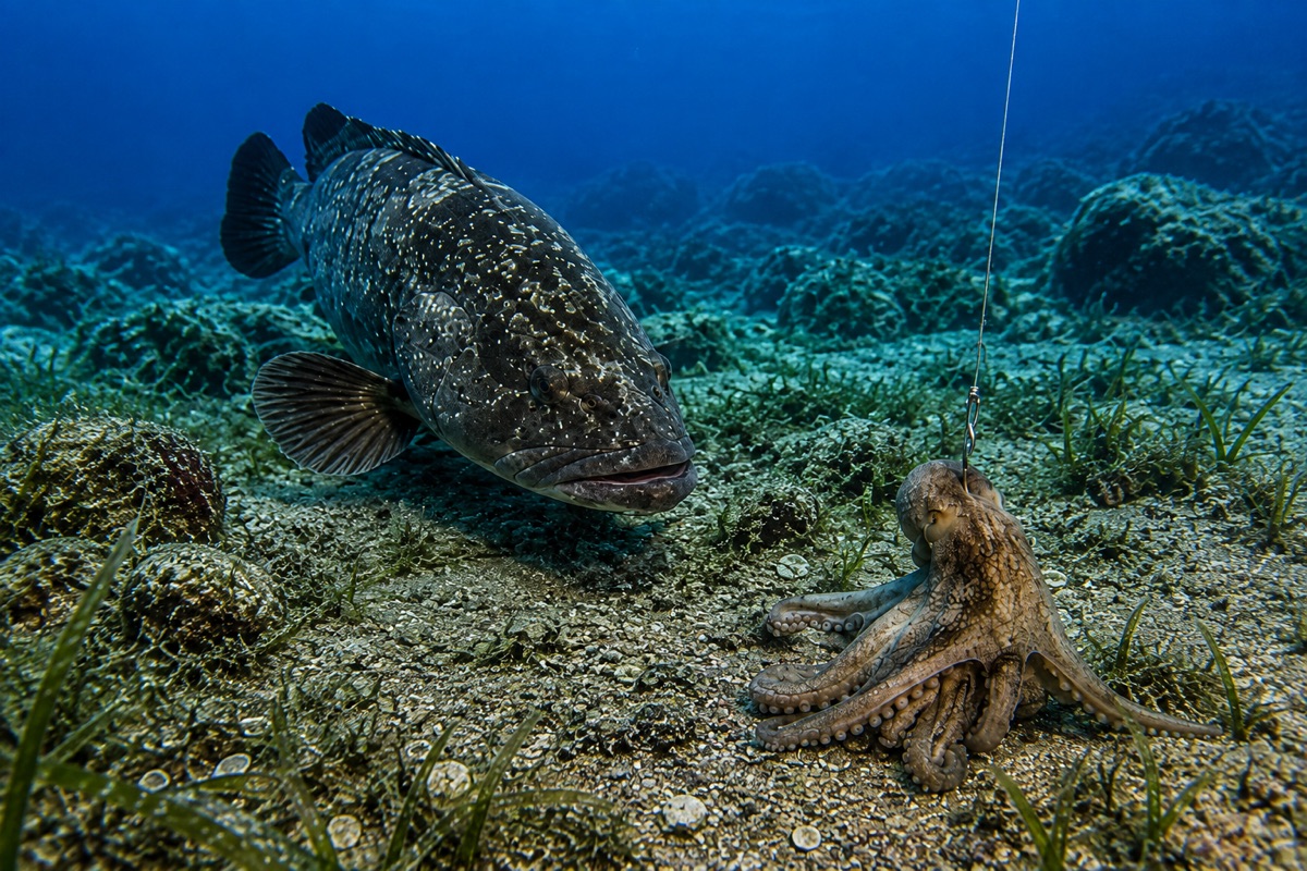
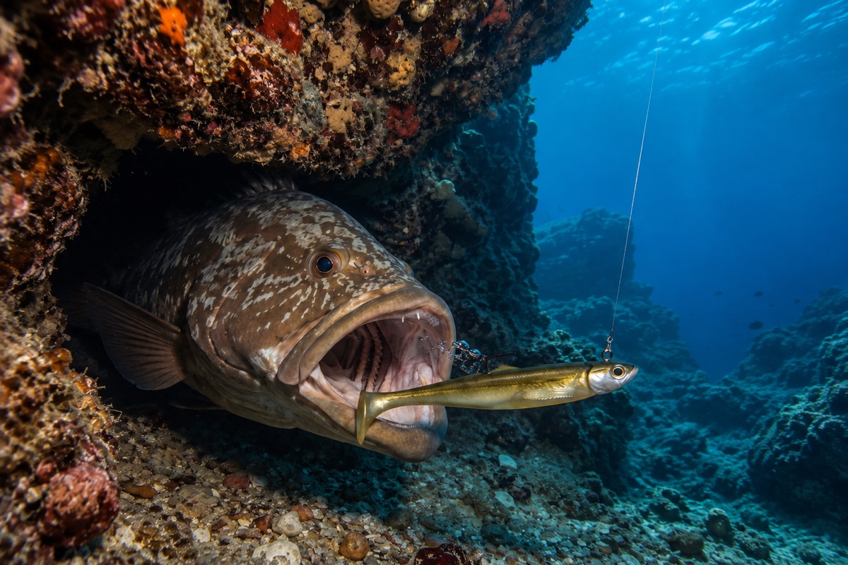
In the images in this guide we see two very representative situations: a fish presentation and another using octopus. In both cases, the precision of the drift is decisive.
Current and wind constantly move the boat. That's why it's not enough to just position ourselves over the waypoint and drop. We have to think where we want the rig to end up.
If we know the drift direction, we can position ourselves before the spot, start the descent, and get the bait into the right area when it reaches the bottom.
4. The strike: when the problems begin
The strike of a large grouper can be brutal. But the bite is only the beginning. The real problem appears immediately afterwards.
A grouper located next to a cave will try to use that structure to take shelter. If it manages to get inside and lock itself in the rock, retrieving the fish can become an extremely difficult task.
That's why the equipment must be sized to withstand the first pull:
- Rod with good power reserve.
- Robust reel with a well-calibrated drag.
- Abrasion-resistant leader (Fluorocarbon).
- Hooks and knots that do not become the weak point.
There is no universal rig, but in this fishing, the entire system counts.
5. The catch ends. The information remains.
Let's assume we finally manage to land the grouper. We could save a photograph, roughly remember where we were, and continue fishing.
But we would be wasting a huge part of the information. Because the interesting question is not only "Where did I catch it?", but:
What was happening that day for that spot to work?
This is where a waypoint in CAPTA begins to become more than just coordinates. When you save a waypoint, CAPTA automatically records the conditions associated with that moment:
- Atmospheric pressure.
- Wind strength and direction.
- Moon phase.
Months later you don't need to remember if the moon was waxing or waning. The spot retains its context. And CAPTA can alert you when similar conditions return.
6. Returning a season later
Imagine you locate a productive area this season and you don't fish it again until the following year. Ten months have passed. Will you remember exactly where you made that drift? Probably not.
But CAPTA does.
You open the waypoint, check the spot, and you can navigate towards it. Furthermore, you check the conditions of that day and start answering much more interesting questions:
- Does this spot work better with East or West wind?
- Do catches repeat with similar pressure?
- Is there a time of year when that structure produces more activity?
Several seasons of data begin to turn into knowledge.
7. Saving the right spot is as important as finding it
There is also a small habit that can greatly improve our fishing library: Don't just save “the area”. Save the spot that actually produced information.
If you have made several drifts and detect that bites repeatedly appear next to a specific end of a formation, that is the interesting data.
You can add notes and organize the waypoints to remember later what happened there. Over the seasons, the map stops being full of spots without context and starts telling a story.
- You know where you found food.
- Where you had a bite.
- Where you caught a fish.
- And under what conditions it happened.
That is exactly what we are looking for with CAPTA: that a good day doesn't disappear when you return to port.
8. Fishing better doesn't always mean buying more gear
In sport fishing we constantly talk about new rods, reels, sonars, and lures. But there is another tool that we often ignore: our own history.
If you've been fishing for five years, you have five years of information. The problem is that much of it is usually spread across memory, mobile photos, spots unsafely saved in Google Maps, screenshots, and notebooks.
Centralizing that information allows you to take advantage of it. A fisherman who knows where, when, and under what conditions they got results starts with an advantage over someone who simply returns to the sea hoping to repeat their luck.
CAPTA is born precisely around that idea:
- Save the place.
- Protect it privately.
- Return to it precisely.
- Learn from what happened.
Recommended Articles
- Deep Sea Scorpionfish Fishing: Localization, Bait and Secret Waypoints
- Live Bait Dentex Fishing: Precision Strategy, Key Conditions, and Data Sovereignty
- CAPTA vs Google Maps: Which is Better for Saving GPS Locations (Technical and Privacy Comparison)