
Amberjack fishing with jig
find the schools and learn when to return
Introduction
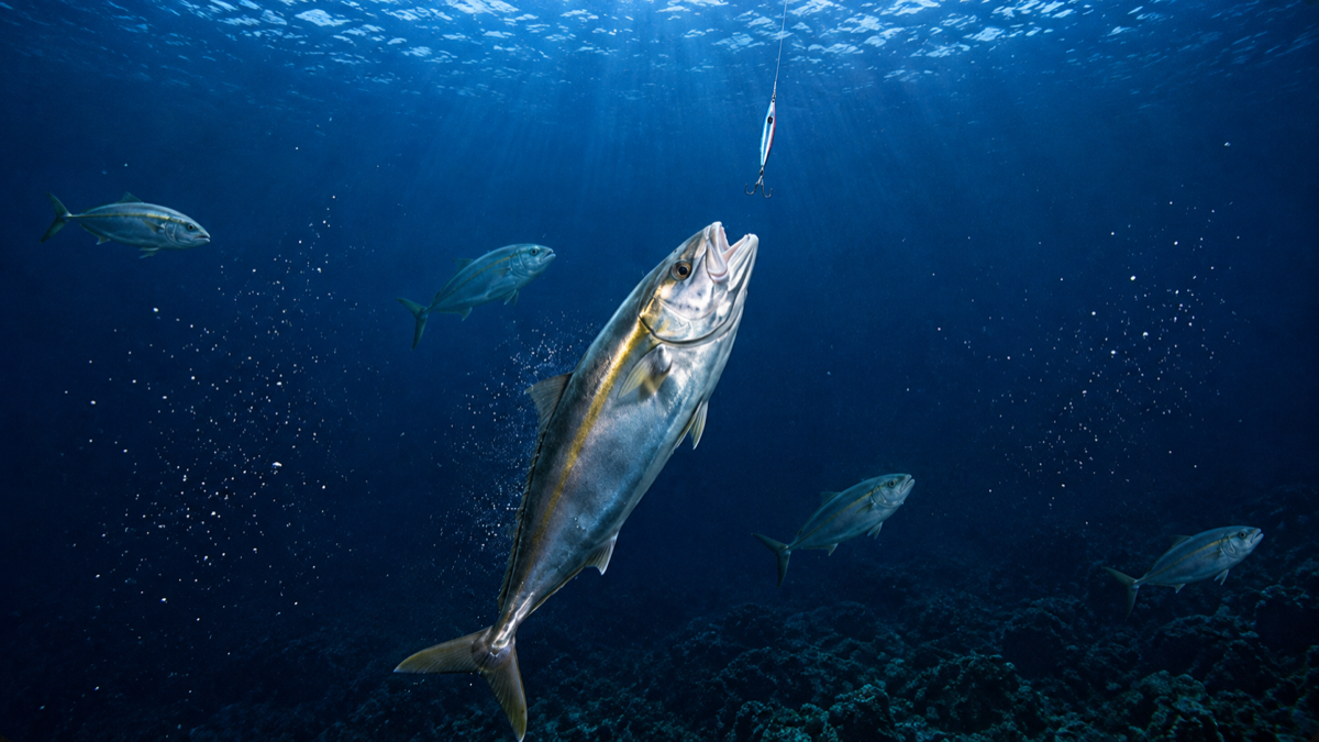
There are fishing days that begin many hours before the first bite. You look for structures on the bottom. You find a school of baitfish. You change course. You pass through the area again. You try a different depth.
Until what you were looking for appears on the sonar, you drop the jig, and the long-awaited bite arrives. With amberjack, that moment of pure activity can last just a few minutes. The school appears, you get one or two catches, and it disappears again. That is why the most important part of that day is not just the fish you bring on board.
It is knowing exactly where it happened and what the conditions were when it occurred. That is where tools like CAPTA turn a lucky day into useful tactical information for the rest of your seasons.
1. Look for baitfish before dropping the jig
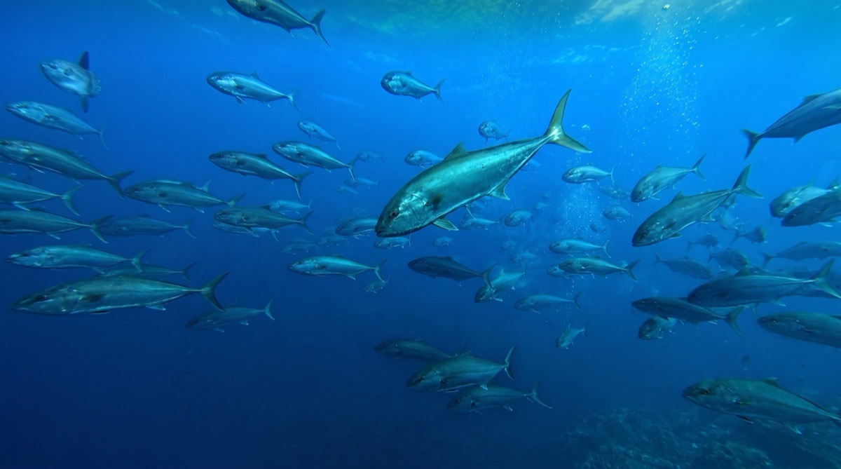
The amberjack is an extremely mobile predator. We can find it patrolling different depths, chasing baitfish, or concentrated around certain structures looking for food.
Therefore, before dropping the jig, it is worth spending quality time searching with the sonar:
- Shoals and isolated rocks.
- Wrecks and very steep drop-offs.
- Sudden changes in depth.
- Areas where the current concentrates food.
But the definitive sign is usually the baitfish. Schools of horse mackerel or mackerel can betray the presence of large predators. When we find one of these schools on the sonar, it is worth paying attention, even if we do not clearly see the echoes of giant amberjacks below.
2. The jig must work where the fish are
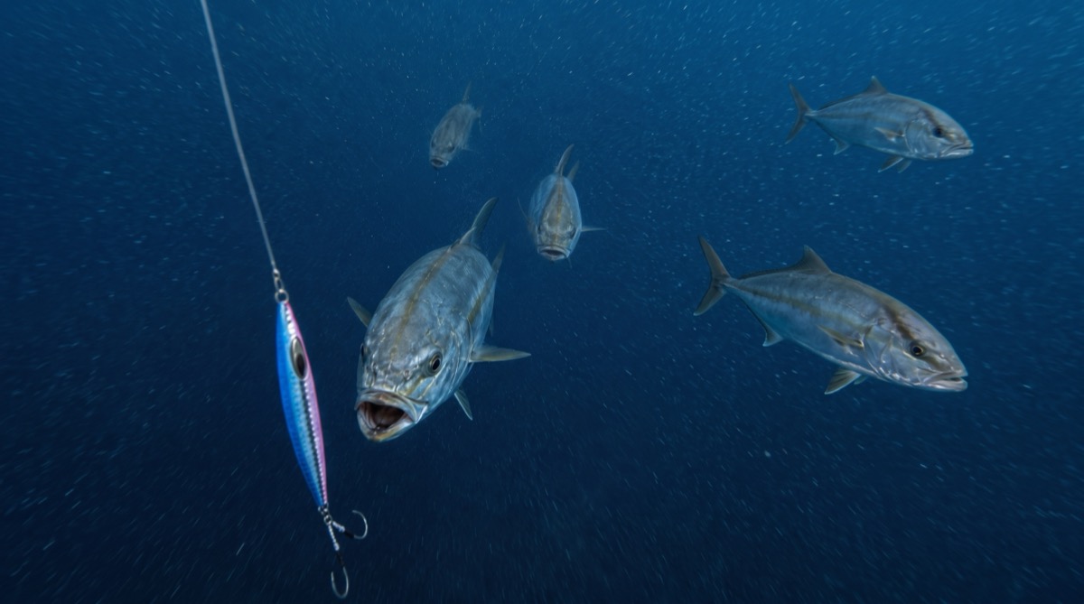
Once the school is found, the fishing action begins. Here the goal should not simply be to drop the lure to the bottom and retrieve it blindly over and over again.
You have to try to precisely work the water layer where you think the fish are hunting. If we have a total depth of 90 meters but the activity on the sonar appears between 40 and 60 meters, that will be our hot strike zone.
The jigging technique requires testing until you find the movement they want that day:
- Continuous fast retrieves.
- Short and very sharp jerks.
- Wide movements with prolonged pauses.
- Drastic speed changes.
And watch out for the fall: often a good amberjack will frantically attack the jig before we even manage to close the reel bail.
3. A good rock is worth more than a hundred coordinates
Let's imagine we find a small elevation at a depth of 75 meters. We make a first drift and get a good bite. We reposition ourselves, drop the jig, and get another one.
At that moment, we are no longer looking at a simple point on the map. We have found a pattern. The amberjacks may be there because of the structure, the concentration of horse mackerel, or the strength of the current.
That is the exact moment to save the waypoint. And here is where something fundamental happens: CAPTA does not just save the GPS coordinate where you are.
When creating the mark, CAPTA automatically records the current conditions:
- Wind strength and direction.
- Atmospheric pressure in real-time.
- Lunar phase and tidal coefficient.
- The exact weather of that very moment.
You don't need to remember to write down the weather in a notebook later. The spot is forever accompanied by the conditions in which you discovered it.
4. The drift: those meters that can change everything
In vertical jigging, being "close" to the spot does not always mean fishing it. The wind and current push the boat, and the jig itself drifts laterally as it descends dozens of meters.
We might start dropping the line seemingly over the same rock, and end up fishing 30 meters away from the structure.
This is where CAPTA becomes vital again, as it allows you to navigate to your waypoints, showing the exact direction and distance to the point on the screen. This helps you quickly reposition upstream and prepare another perfect drift that crosses right through the center of the school of amberjacks.
5. The value of your history when conditions return
Time passes, maybe several weeks or even the entire fishing season. That productive rock remains saved in your CAPTA account, linked to the environmental conditions of that day.
Suddenly, your history stops being a simple photo album of catches and becomes predictive information.
If a specific area produced fish under a specific wind and pressure, knowing from the weather forecast that an identical situation is approaching is a compelling reason to return. You stop collecting blind spots and start building your own patterns, knowing that the last time that spot worked, the sea was exactly the same as today.
6. Protect your coordinates and get organized
An angler can spend years prospecting to build a good collection of amberjack waypoints. Losing all that effort and gallons of fuel because a phone breaks, the boat's electronics fail, or we buy a new one, would be a disaster.
You can continue keeping your main spots on the boat's GPS plotter; in fact, it is the logical thing to do for navigation. But keeping them safe and private in your CAPTA profile with its cloud backup gives you total peace of mind.
CAPTA allows you to conveniently import and export your GPX files to keep all that information organized and without depending on a single electronic device.
Frequently Asked Questions (FAQ)
Where to look for amberjacks to fish with a jig?
To be successful with amberjacks, the ideal is to prospect irregular bottoms such as steep shoals, sunken wrecks, large isolated rocks, and deep drop-offs. These structures break the current and usually concentrate huge schools of baitfish such as horse mackerel or mackerel. Finding the combination of rock structure and baitfish echoes in mid-water exponentially increases your chances of a bite.
What jig weight should I use for amberjack?
The correct weight depends almost exclusively on two factors: the depth and the strength of the drift. As a rule of thumb, the goal is to get your lure to drop as vertically as possible to work the water column well. If you fish at a depth of 80 meters with a considerable current, you will surely need to use jigs of at least 150 to 180 grams so as not to lose verticality.
What does CAPTA save when I create a fishing waypoint?
Unlike a simple boat GPS, CAPTA adds a layer of intelligence to each coordinate you mark on the water. In addition to satellite location, it automatically associates fundamental variables for fishing such as atmospheric pressure, wind strength and direction, moon phase, and tides of the exact moment. This allows you to have a scientific record of what weather generated activity that day without having to write it down by hand.
Can CAPTA notify me when similar conditions return?
Yes, that is one of the most powerful features for identifying fishing patterns. By having your previous catches associated with certain weather and lunar conditions, CAPTA can help you detect when today's weather matches that of that successful day. It is an excellent way to decide which waypoints are worth visiting before leaving port.
Can I use CAPTA if I already have a good plotter on the boat?
Of course. Most experienced anglers still use their plotter screens to sound and navigate in real-time. CAPTA works as a complementary ecosystem where you export your GPX files to keep your vital coordinates organized, enriched with weather data, and protected in the cloud in case anything ever happens to the onboard electronics.